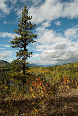
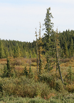
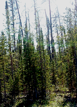
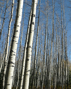
banner MPWA Home Page MPWA Home Page
 

The Peace and Slave Watershed

The land cover of the Peace and Slave watershed is often described by the National Ecological Framework. The framework takes into account climate, landforms, soils and plants. Areas that contain similar associations of these components are grouped in progressively more detailed categories. The broadest is the Natural Region, which is sufficient to provide an overview of the character of the watershed.

Alberta's Boreal Forest3

  • Covers 465,000 km2
  • (115 million acres, which is larger than Sweden).
  • Comprises 8% of Canada's Boreal Forest.
  • Stores 14 billion tonnes of carbon in its soils, peat and forests – an amount equivalent to 72 years of Canada's annual carbon emissions.
  • Wetland-rich, supporting more than 3 million waterfowl annually.
  • Home to Wood Buffalo National Park and the Peace-Athabasca Delta.
foothills

Foothills

The lower slopes of the mountains are characterized by extensive forests, principally composed of lodgepole pine.
Boreal

Boreal Forest

The Mighty Peace watershed is mostly boreal forest, also known as Taiga — a vast circumpolar zone characteristic of the northern latitudes. It varies greatly, but the dominant trees are cold-hardy pine, spruce, larch, aspen, poplar, fir and birch. It also features treeless areas, lakes and rivers, extensive wetlands and, in the drier areas, grasslands. Overlying formerly glaciated areas, the zone consists of extensive hills created by glacial moraines and lowland plains where glaciers deposited sands and gravels. The bedrock is typically deep, with outcrops only along major waterways that have eroded the overlying layers.
duvegan

Rocky Mountains

Found only at higher elevations in the southwestern part of the watershed, this region is characterized by a mix of closed forests and vegetated areas, bare rock and, above the tree line, glaciers. The headwaters of many streams and rivers begin here.
duvegan

Canadian Shield

Restricted to the extreme northeastern part of the watershed, this consists of open forests of jack pine with black spruce in the wetter areas and outcroppings of granite bedrock.
duvegan

Parkland

ParklandFound only within a small portion of the Mighty Peace watershed, parklands are dominated by a mix of grasslands and aspen forests.

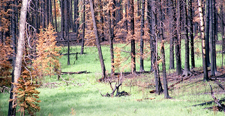
Disturbance is a critical but normal component throughout the ecoregions of the Mighty Peace. Fire, insects, wildlife, ice storms and disease all play roles in the process. A functioning watershed is resilient and able to respond and adapt. The current state of the watershed cannot be compared to an ideal or static state but it is possible to gauge whether any element is within the natural range of variation. The concept of a natural range of variation should be considered when choosing the indicators to describe the health of a watershed.

Wood Buffalo National Park

Wood Buffalo National Park, a United Nations Educational, Scientific and Cultural Organization (UNESCO) World Heritage Site, lies partly within the Peace and Slave watershed. It is home to the largest population of wild bison in North America and is the natural nesting place of the whooping crane.

MORE ABOUT THE PARK AT:
www.pc.gc.ca/pn-np/nt/woodbuffalo/index.aspx

Natural Regions of the Watershed
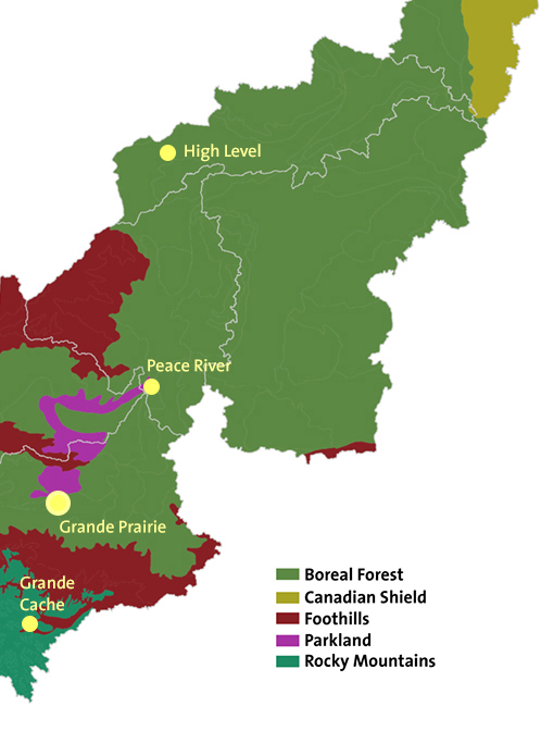
 HOVER ON MAP FOR DETAILS
Ecoregions
Forest scene


CONTACT THE ALLIANCE